|
If your dream of the perfect
experience is to get off the freeways, drive through vast
open country, pass miles of wheat fields, and enjoy a view
where you can see for ever in any direction, then journey to
historic Fort Benton.
|
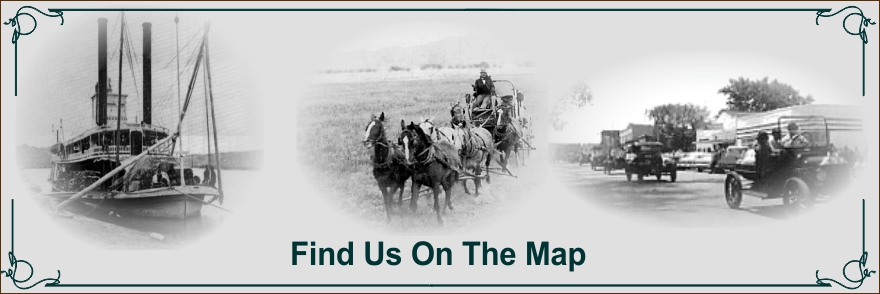
Fort Benton is one of the most
historically significant sites in Montana. No other town
played such a prominent role in the opening of the
Northwestern United States and Canada. Located on the
Missouri River, Fort Benton was established in 1846 as a
trading post for the American Fur Company. As a trading
post, military fort and head of steamboat navigation, Fort
Benton was an important overland connection. By 1859 Fort
Benton was connected to Walla Walla, Washington, by the
Mullan Road. In 1869 the Whoop-Up Trail from Fort Benton to
Alberta was established as well as a trail into the
Saskatchewan side of the Cypress Hills. These two trails
was used to supply western Canada with illegal “Indian
Whiskey.” Fort Benton also became a supply depot for North
West Mounted Police charged with bringing law and order to
the wild, whiskey-sotted western provinces.
Fort Benton is the only trading post that
was built in the 19th century to still serve as a town
today. It is also known as the gateway to Lewis and Clark’s
“Scenes of Visionary Enchantment;” the “Wild and Scenic”
Upper Missouri River and The Upper Missouri River Breaks
National Monument.
Fort
Benton is nestled in a Missouri River valley in North
Central Montana. Follow U.S. Highway 87, forty miles
northeast from Great Falls or seventy two miles South from
Havre and you'll discover us.
|
|
